Google Maps now shows real-time transit updates in three U.S. cities, more on the way<article>
<section class="page">
<p>Google Maps may soon be your best friend when it comes to catching the train.</p><p>The app now shows real-time transit updates in San Francisco, Chicago, and Seattle, with a promise of more cities to come. The new feature is also live across the pond, debuting in the UK, Netherlands, and Budapest.</p><p>
Google says that Maps uses over 100 different transportation partners for collecting the data, so you’ll have the very latest arrivals and departures for systems like BART or London’s Underground.</p><figure class="large "><img src="
" alt="google maps transit update" width="580" height="490"/> <small class="credit">
Google Lat Long Blog </small> <figcaption>
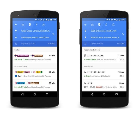
<p>Google Maps offers up suggested routes for various forms of public transit.</p><p class="jumpTag"><a href="/article/2930363/google-maps-now-shows-real-time-transit-updates-in-three-u-s-cities.html#jump">To read this article in full or to leave a comment, please click here[/url]</p></section></article>
Source:
Google Maps now shows real-time transit updates in three U.S. cities, more on the way
